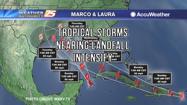
Tropical Depression Fourteen has been upgraded to Tropical Storm Marco and is expected to reach landfall Monday. Marco is expected to weaken as it makes landfall because Tropical Storm Laura will then be entering the Gulf. Two tropical storms occupying the gulf simultaneously is a weather event not seen since 1933. Impacts for Southeast Louisiana and South Mississippi will begin this afternoon as rain bands start to move inland by late tonight and through most of Monday will bring the worst of the weather associated with Marco.
Hurricane warnings are now up for the coastal sections of Louisiana as Marco continues to move across the Gulf with a landfall expected on Monday. Storm Surge Warnings are in effect for coastal locations outside of the levee protection system for water rises between 3-6′.
As Tropical Storm Laura moves into the Gulf it will grow in intensity as the Gulf will be primed for strengthening. The latest forecast calls for Laura to become a Category 2 hurricane with a landfall along the southwest or south-central Louisiana coast on Wednesday.
This is a fluid situation as with all weather predictions. We will keep you posted.


